1.
 2.
2.
 3.
3.
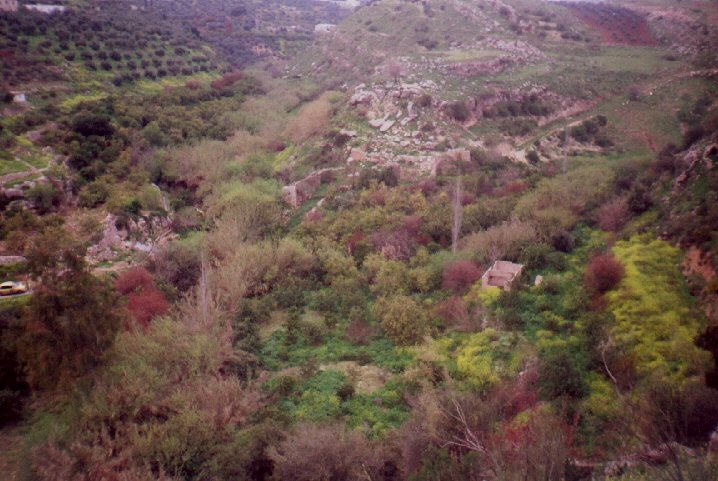
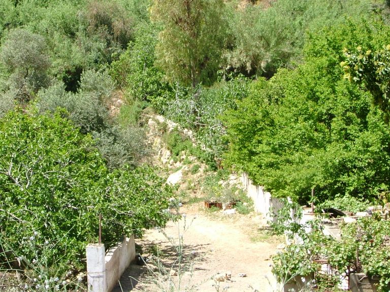
The first mill (E1) is located between the two streams, on the tip of the spur that divides them. In the picture (#1 above) the two wadis can be identified by the 'jungle' of brush obscuring the stream itself, Wadi Shuayb running from top to bottom in the left of the picture. Wadi Mahis comes in from the right, (In the picture, west is to the left).
There were two separate aqueducts. The prominent one is on the west side (#2), across the stream from the track used for access . Today it is almost surrounded by a lemon grove (#1, above).
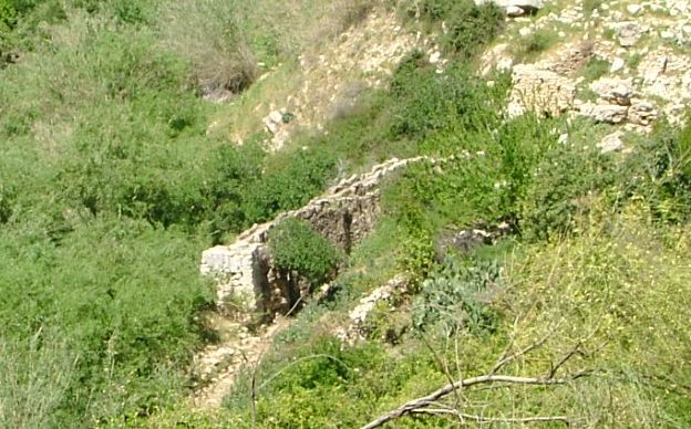
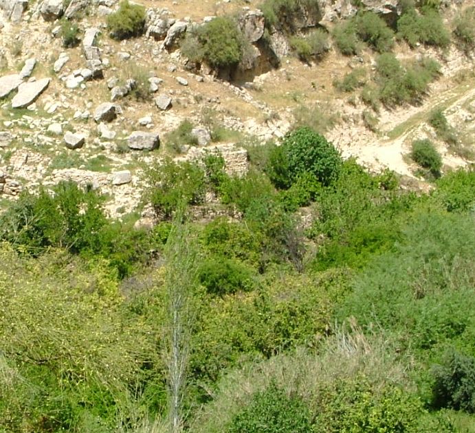
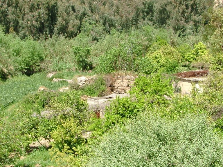
Another is to the east (#3), obscured by the citrus grove, and not projecting so far from the cliff. Between the two locations are other buildings, none of them surviving very much above ground level.

The second mill (E2) lies beside the track used to access the site. What remains is a small (low) aqueduct and a single building beneath it. It forms the boundary between orange and lemon orchards. The mill is located in the trees below the yellow taxi, on the extreme left of the picture above.
1.
 2.
2.
 3.
3.
 4.
4.
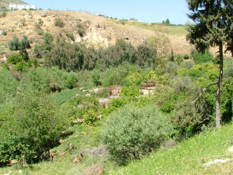
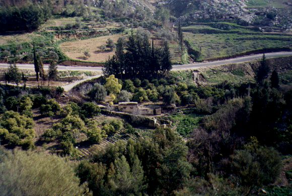
The third mill (E3), pictured left, lies beside and below the Mahis road, about 0.5 km from the Shu'eib bridge. It is directly opposite site E2, across the Shu'eib.
Picture #1 looks across the valley and shows the mill below the Mahis road. the rest are looking down from the Mahis road. #2 shows the mill aqueduct along the edge of the driveway into the property. #3 looks across the property at the aqueduct, which forms a border in the small farm. #4 is at a different angle.